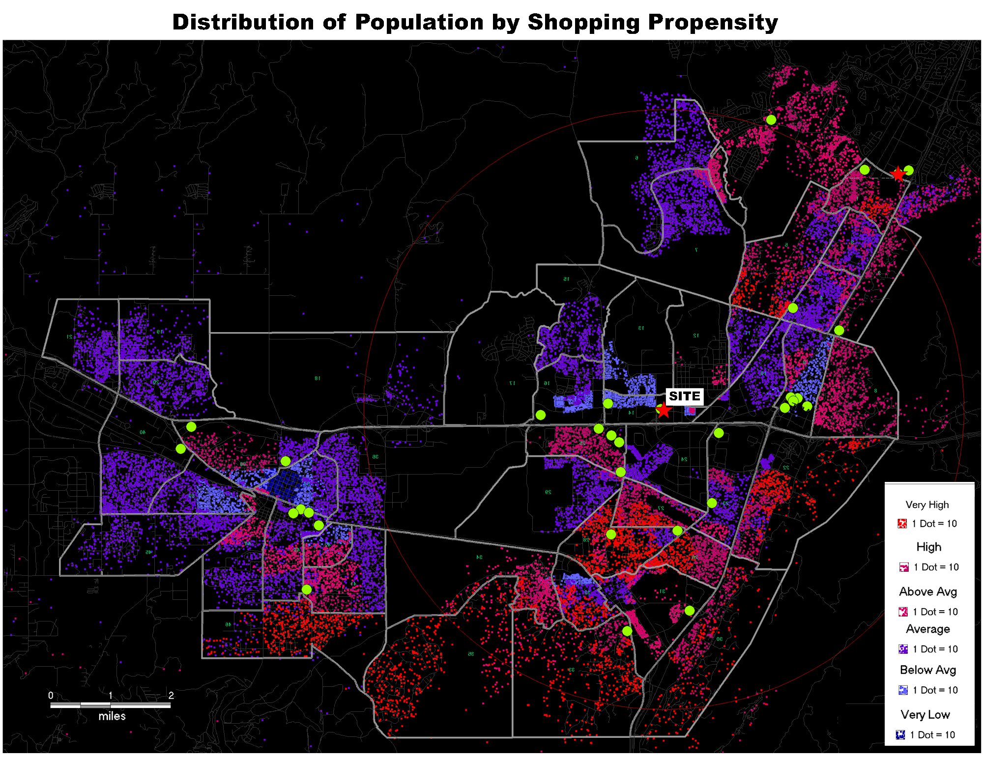
 Geographic Information Systems (GIS) have transformed the ability to display location-based information and have become powerful analytical tools in the field of site location research. ARA provides expertise in GIS that enables our clients to quickly visualize complex data interactions and literally see the key real estate factors in play at a given location. This reduces the time it takes to make real estate decisions, sharpens the focus on the most promising locations and accelerates the site selection process. The old axiom that “a picture tells a thousand words” is very much the case with GIS, helping companies sort through the myriad site location factors to deliver the best payback.
Wondering which locations will have the best potential over the next five years and when those sites will be ready for development? Area Research Associates can answer these questions with exceptionally detailed population projections based on actual ground level information. Then combine these custom data sets with ARA’s deep GIS capability to truly see the bigger picture.